Port of Dakar service
Nautical access and buoyage
Maritime safety and navigational aids around the Port of Dakar.
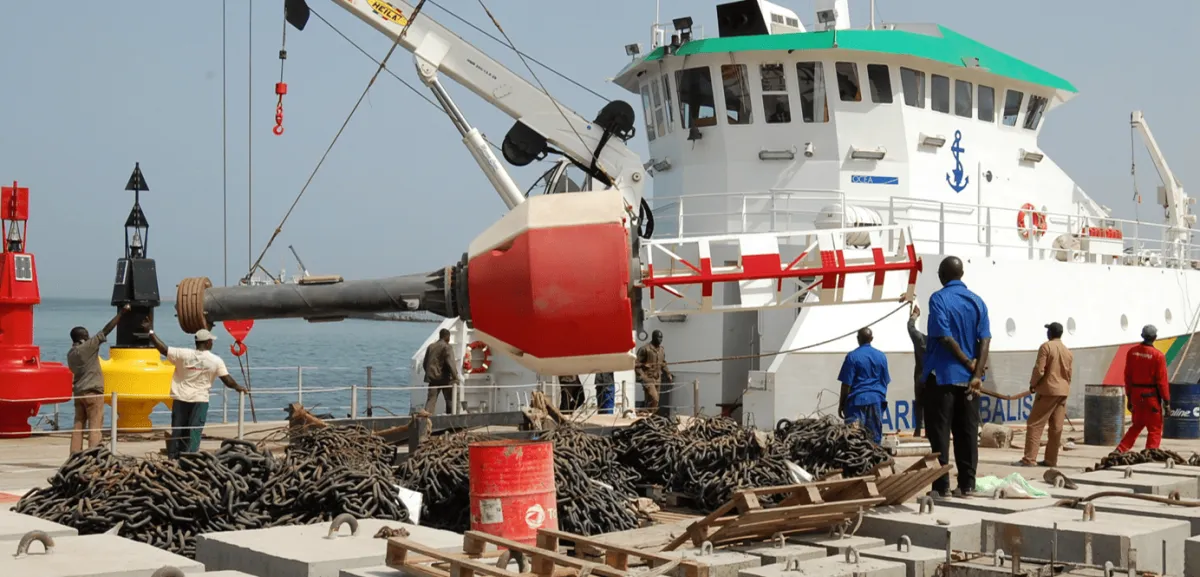
To strengthen navigation safety in the waters under its jurisdiction, Senegal has modernized its navigational aids: buoys, lighthouses and safety infrastructure. The Lighthouses and Buoys Subdivision has been managed by the Port Autonome de Dakar under an agreement since 1977.
Bathymetric surveys
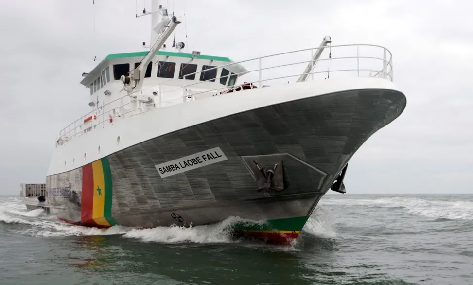
Multibeam and single-beam equipment is used to survey the basins of pier 2, Dakar's outer roadstead, the access channel and the sites of Rufisque, Dakar-Gorée and Ziguinchor. These surveys support buoy positioning and seabed mapping.
Operations include the survey of the middle and east basins of PAD's pier 2, Dakar's outer roadstead, the access channel to the Rufisque quay, the Dakar-Gorée landing stage, the Casamance River from its mouth to the Port of Ziguinchor, the Saint-Louis Breach, and the port's outer channels.
Navigational aids
The system includes landfall lighthouses and lights, the lights on the PAD's North and South jetties, and ordinary and lighted buoys on the roadsteads of Dakar, Mbour, the Saloum and the Casamance.
The lighthouses and lights serve Saint-Louis, Kayar, Fass Boye, Les Almadies, Gorée, Diockoul, Yenne, Mbour, Joal, Djogué, Les Mamelles and Cap Manuel, among others. Ordinary buoys mark Dakar, Kayar, Mboro, Popenguine, the Saloum and the Casamance; lighted buoys cover the Dakar roadstead, Mbour, the Saloum and Casamance landfalls, and Lagoba.
Approach to Dakar
When approaching Dakar, navigators are guided by the Mamelles, Cap Manuel and Almadies lighthouses, as well as a system of buoys marking obstacles, the port's access channel and the anchorage areas.
The buoys mark the obstacles to avoid, including the Mbour sandbank, the Résolue cemetery, the obstruction zone between Gorée and Cap Manuel, as well as wrecks. They also mark the as well as wrecks. They also mark the port's access channel and the SAR/ICS anchorage area for oil tankers.